
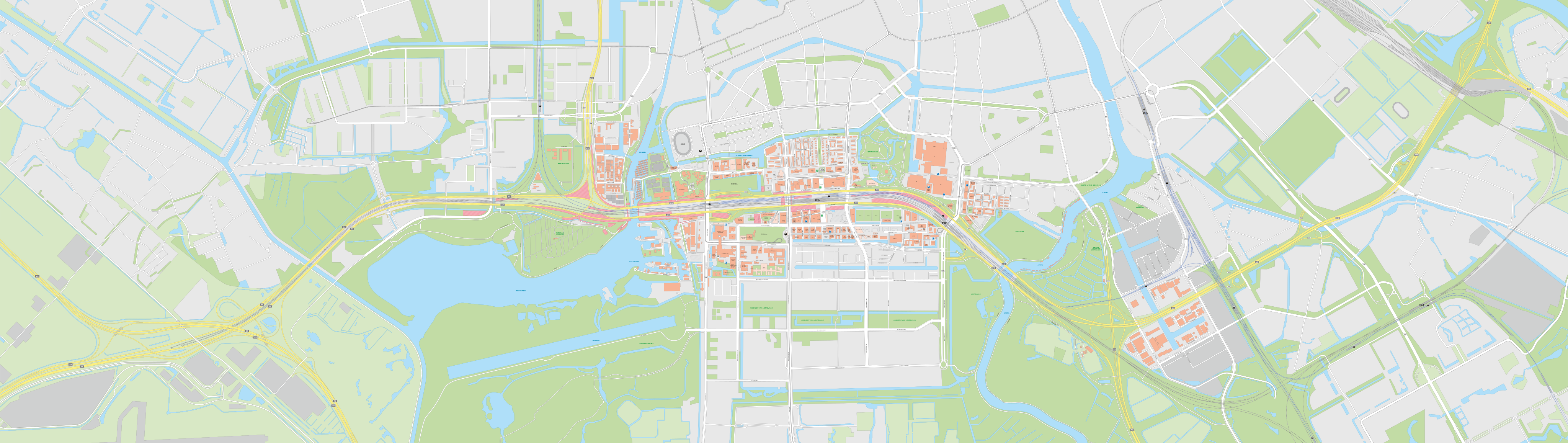
On Sunday, 1 November, Amsterdam Zuid station moved to the new Brittenpassage, around 200 metres further along. And, of course, its passengers – currently around 120,000 a day – moved with it. To find out how people move through the area each day, we have installed 11 sensors at locations including Eduard van Beinumstraat, Benjamin Brittenstraat and Parnassusweg. These sensors anonymously record how many people pass through the area and which direction they are travelling in. We need this information because there is still a great deal of construction work to be done around the station over the coming years, particularly on the A10 Zuid tunnel. During this work, we naturally want to keep the area as accessible and safe as possible.
Regular measurements
We carried out a similar survey in autumn 2024. It revealed that the ramp leading up to the train platforms from Parnassusweg (known locally as the ‘camel’s hump’) was being used more frequently than we had expected. We adjusted our traffic models accordingly. Widening the ramp seemed the obvious solution, particularly when the train platforms were moved considerably closer to Parnassusweg in early 2026. ‘But the increase in pedestrian traffic turned out not to be large enough to justify such an expensive alteration’, explains Jeroen Stegeman of Zuidasdok. ‘A good example of why we carry out these measurements.’
North side: Eduard van Beinumstraat
The measurements are particularly important now that the layout of the station area has changed so significantly. For example, passengers travelling from Strawinskylaan, where the local and regional bus stops are located, now have to walk an extra 200 metres to reach the new station, via Eduard van Beinumstraat. ‘We therefore expect a considerable increase in pedestrian traffic there’, says Jeroen Stegeman of Zuidasdok. ‘The data will show us whether there is enough space to accommodate these pedestrians. It will also help us determine how much space we need to keep available when we start building part of the northern A10 tunnel there in the future.’
South side: Benjamin Brittenstraat area
Schönberglaan, Benjamin Brittenstraat and Claude Debussylaan, on the south side of the station, are also expected to become much busier than before. That is why the public spaces in this area have already undergone major changes, creating more room for pedestrians and cyclists. Stegeman explains: ‘This area connects the station with the Kenniskwartier neighbourhood. We’re particularly interested in how pedestrian traffic is distributed between the Brittenpassage and Parnassusweg, especially now that the station is closer to the new tram stop on Parnassusweg.’
The sensors are part of the City of Amsterdam’s monitoring system for pedestrians and cyclists in public spaces, known as the Langzaam Verkeer Monitoringssysteem Amsterdam (LVMA). You can use this map to see where the sensors are located across the city.
A connection between neighbourhoods
With public transport ticket gates at both ends of the station, we will also be able to establish how many people use the station simply as a route between the north and south sides of the area. ‘They can also walk via Beethovenstraat or Parnassusweg, but we expect many people to use the passageway instead’, says Stegeman. ‘Perhaps stopping off at one of the station shops along the way.’
Space and timing
This information will also be useful when we begin excavating the A10 tunnel right next to the station. During some stages of construction, we will need to close one of the station entrances temporarily. This will mean more people using Parnassusweg to walk from one side of the station to the other. ‘If we can estimate how many people will be using that route, we can work out, for example, how wide the pavement along Parnassusweg needs to be’, Stegeman explains. But the measurements are not just about space. Timing is equally important. ‘If we know how pedestrian traffic varies throughout the day and across the week, we can also determine the safest times to carry out construction work for people using the station.’
Share article:
Give your opinion
Get in touch with us